Hurricane Laura roared ashore on the border of Texas and Louisiana as a Category 4 storm early Thursday, ripping apart buildings, severing power lines and clogging streets with debris as a dangerous storm surge trailed behind. Half a million customers were without power.
With sustained winds of 150 mph, Laura's eye made landfall near Cameron, Louisiana, at about 1 a.m. CDT before plowing a path of destruction north toward Arkansas, where the weakened storm was predicted to then curve east through Kentucky and Tennessee by Friday evening.
By 7 a.m. CDT, sustained winds were 100 mph, and the storm had dropped to a Category 2 hurricane, forecasters said. While Laura was expected to weaken rapidly into a tropical storm by this afternoon, forecasters continued to warn of flooding danger.
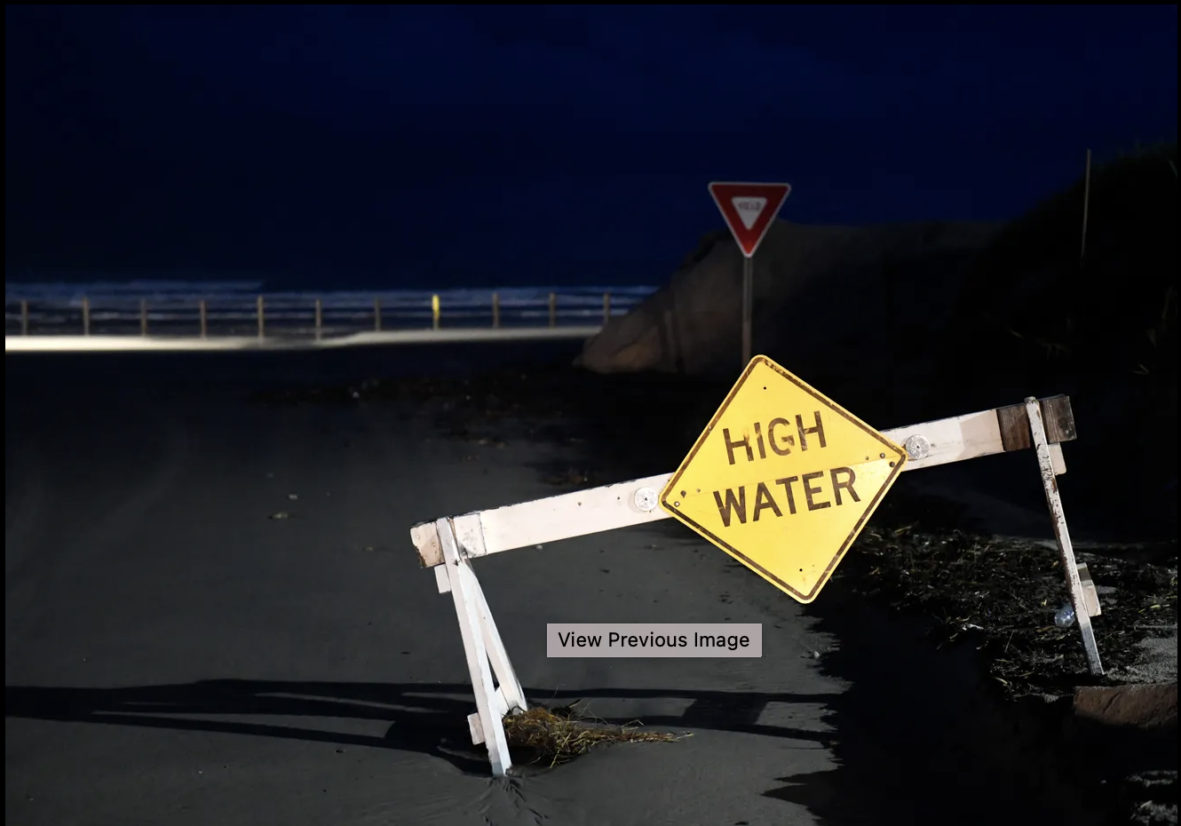
The National Hurricane Center said in its update that "damaging winds and flooding rainfall" were spreading over western and central Louisiana as the storm moves inland. "Life-threatening storm surge continues along much of the Louisiana coastline," forecasters added.
The latest developments:
- At least one person has died after Hurricane Laura: A a 14-year-old girl was killed when a tree fell on her house in Leesville, Louisiana.
- Laura is forecast to move north across western and northern Louisiana on Thursday as it makes its way toward Arkansas this evening.
- From Johnson Bayou to Rockefeller Wildlife Refuge including Calcasieu Lake, storm surge up from 15 to 20 feet is expected, and Rockefeller Wildlife Refuge to Intracoastal City could see storm surge from 10 to 15 feet.
- The National Hurricane Center says the storm surge could reach as far as 40 miles inland and flood waters may not fully recede for several days
- Parts of Louisiana, Arkansas and western Mississippi could see tornadoes Thursday, too.
- The Cajun Navy Relief & Rescue, the legendary nonprofit flotilla of privately owned boats used to assist flooding victims, was gearing up for rescues.
Read More (...)