Australia is about to look its true size after a historic vote from the UN this week that dramatically changes the way we see the world.
Ben Graham
Australia is set to look noticeably larger on world maps after the United Nations General Assembly voted to ditch centuries of cartographic distortion in favour of a new global map projection.
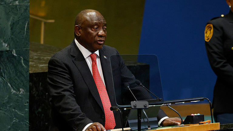
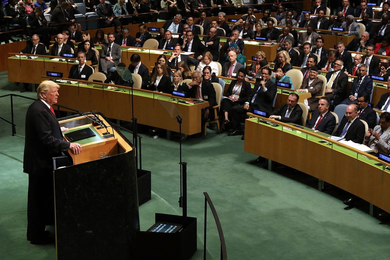
The UN resolution, supported by 164 countries with the United States voting against, urges member states to adopt the “Equal Earth” projection over the traditional 16th-century Mercator map.
Want more finance news? Download our new app for even more coverage
While the shift dramatically shrinks northern landmasses like Greenland and Europe and expans Africa and South America, it also transforms how Australia and the Pacific appear.
According to Australian geographer Greg Lauer, a founding member of OSGeo Oceania, the change alters visual perception rather than geographic reality, making Australia appear around 10 per cent larger relative to squeezed northern landmasses.
That means Australia will look bigger than Greenland on the newly adopted projection, not because Australia looks much bigger but because Greenland appears smaller.
“In simple terms how we see Australia in terms of size may change,” Mr Lauer told news.com.au. “The actual size of course doesn’t change, but if you look around on the Equal Earth projection, Greenland is a lot smaller and you can better see how Australia compares to Africa for example.

“It’s more how we’re using different projections to visualise different parts of the world and the Mercator map does a very poor job of visualising the far north or the north poles or the polar regions north and south and of course it makes Greenland look the same size as Africa which it isn’t.
“Africa’s 14 times the size of Greenland. So other projections like the Equal Earth Projection do a better job of visualising the countries as they compare to each other.”
Mr Lauer explained that a major factor for readers Down Under is where the new map is centred.
“We in Australia and New Zealand would much prefer the projection to be centred over Australia, and then you’re not going to see much difference,” Mr Lauer said. “But if the projection is centred over the UK... then you’ll see Australia being slightly distorted and New Zealand right at the edge of the map, which of course the Kiwis don’t like at all.”
First designed in 1569 by Flemish cartographer Gerardus Mercator, the traditional Mercator map was built for ocean navigation. While it preserved accurate compass bearings, it distorted continental sizes by inflating polar regions and shrinking equatorial ones.
“The classic schoolbook or textbook example of course is taking an orange and then peeling that orange, how do you make that orange peel flat to represent the Earth?” Mr Lauer said. “The old map was never wrong. It was right for navigation, but it was wrong for comparison. I always argue that it was misused, not mistaken.”
Mr Lauer noted that map projections have long carried geopolitical weight, particularly during the Cold War.

“Certainly in the Cold War, the US kind of liked the Mercator projection because it showed Russia or the Soviet Union back then as this big monster in the north,” Mr Lauer said. “But in reality, the Soviet Union was only two times bigger than the US, not the five or six times that you’d look at on a Mercator projection.”
The push to replace Mercator began with the “Correct The Map” campaign, launched by African advocacy organisations, endorsed by the African Union, and co-sponsored at the UN by Togo and France.
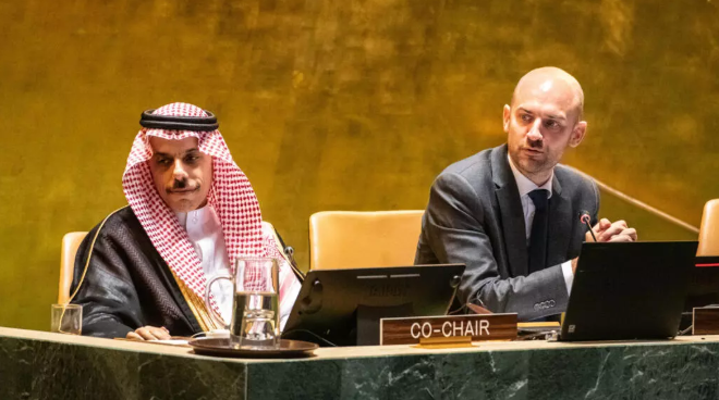
Togolese Foreign Minister Robert Dussey argued that distorted maps “guide education, nourish the imagination, and influence collective perceptions,” while French Foreign Minister Jean-Noël Barrot called correcting the representation an “act of truth.”
The United States strongly opposed the resolution. US representative Yaryna Ferencevych slammed the vote ahead of the decision, arguing that “instead of focusing on genuine problems... this body is debating map projects from the 16th century and their role in promoting reparations and cognitive justice.”
Despite the diplomatic heat in New York, Mr Lauer downplayed any immediate disruption for everyday Australians or local spatial industries, describing the controversy as a “bit of a storm in a teacup.”
“It doesn’t affect a lot of the work that our members would do,” Mr Lauer said, pointing out that Australia already uses specialised local projections to accurately map the continent.
“The UN aren’t going to send the blue helmets out to every classroom in the country and tell them to pull down that map and put up a new map. In my mind, this is more symbolic,” he said.
Ultimately, Mr Lauer believes the UN debate highlights a fundamental truth about how we view the planet.
“Every flat map lies about something. The honest ones kind of tell you what they’re lying about,” Mr Lauer said. “I think every map is an argument, right? And the question for us is, do we know what it’s arguing?”