This article is more than
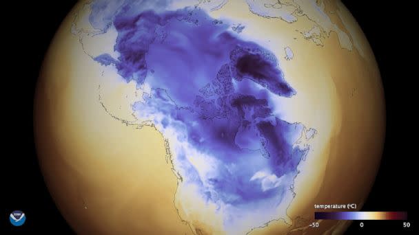
8 year oldA new storm is making its way to the Southeast Wednesday, likely dumping rain, sleet and some snow before moving north. The storm has prompted schools to close in Florida, Georgia, and South Carolina. Meanwhile, the Northeast is bracing for another brutal arctic invasion.
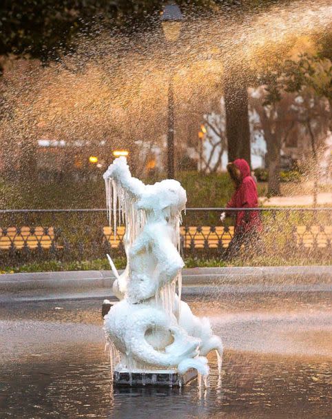
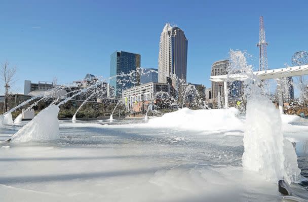
The winter storm is set to hit Wednesday, but ice has already formed on fountains in some southern cities, including Savannah, Georgia, and Charlotte, North Carolina.
It is then forecast to head north, where there is the potential for the storm to become a "bomb cyclone" as it strengthens off the New England coast on Thursday. Very heavy snow, hurricane-force gusts and blizzard conditions are all possible in this scenario.


In northern Florida and southern Georgia, a dangerous mix of snow and ice are in the forecast for Wednesday morning.
Residents of cities including Tallahassee, Florida, and Valdosta, Georgia, may see up to an inch of snow on the roadways during the Wednesday morning commute.
The Florida State University campus in Tallahassee and public schools in Tallahassee will be closed Wednesday.

Firefighters wade into frozen lake to rescue dog
People turn boiling water into snow in new video craze
Minnesota waterfall freezes over as temperatures plunge
Through Wednesday the low pressure will ride up the East Coast, bringing a wintry mix of snow and ice through Georgia, South Carolina and North Carolina.
Georgia and the Carolinas may see 1 to 3 inches of snow.
In Savannah, public schools will be closed Wednesday as the city braces for the freezing rain and snow.
In Charleston, both the College of Charleston and Charleston County School District schools will be closed Wednesday.
Read More (...)